

APICTA 2023 (Hong Kong)
APICTA 2023 has concluded in Hong Kong and it held special significance as it marked the first conclusively on-site APICTA following the global pause enforced by the COVID-19 pandemic. We are thrilled to announce that the event was a resounding success.
Past APICTA Host Economies
Each year the APICTA Awards identify the best solutions from the Asia Pacific region across a broad range of categories.
2023
Hong Kong
2022
Pakistan
2021
Malaysia
2019
Vietnam
2018
China

Bangladesh
2017
Chinese Taipei
2016
Sri Lanka
2015
Indonesia
2014
Hong Kong
2013
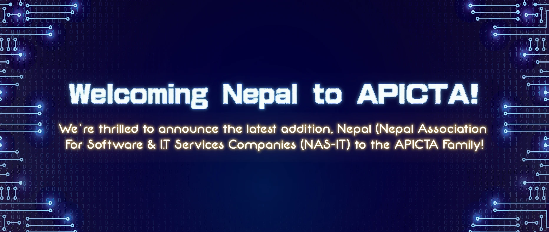
APICTA Member Economies
News
-

Welcome to an APICTA experience unlike any before!
This year, for the first time in its history, the Asia-Pacific ICT Alliance Awards are heading to Pakistan. The APICTA Executive Committee, Pakistan Software Houses Association (P@SHA) alongside the Ministry of IT & Telecom (MoITT), the Pakistan Software Export Board (PSEB), and TechDestination invite you to discover the beauty & hospitality of Pakistan as members…
-

APICTA 2020-2021 – Gala Awards Event!
We are going virtual this year and it will soon be time to nominate the winners! Join on 15 December 2021
-
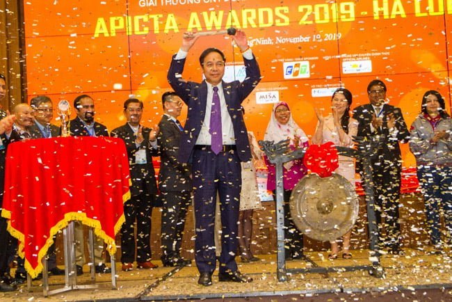
Highlight of opening APICTA 2019 Hạ Long
Today, 19th Nov, 2019, APICTA Awards 2019 is official launching at Hạ Long Bay, Vietnam, with the participation of 1.000 delegates including 650 international delegates from 16 economies in APAC. This is the first time Vietnam host APICTA Award – Oscar of ICT Arena by VINASA, The People Committee of Quảng Ninh Provices. The first day…